End-to-end coverage, field-tested
Five service lines covering aerial surveying, construction support, geospatial analysis, environmental work, and site supervision.
Advanced Surveying & Aerial LiDAR
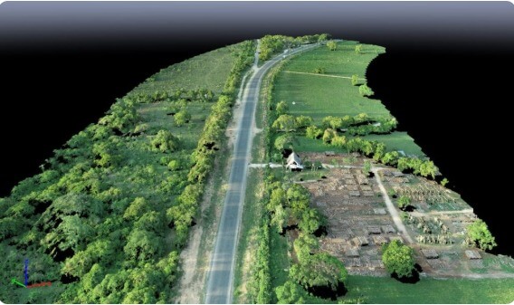
High-precision land and engineering surveying using Aerial LiDAR for unparalleled accuracy, GNSS, RTK, total stations, and UAV/drone photogrammetry for comprehensive mapping.
- Aerial LiDAR Surveys
- Topographic & Cadastral
- Engineering Surveys
- GNSS / DGPS / RTK
- UAV Photogrammetry

Construction Support & Site Surveys
Professional support throughout construction projects — accurate set-out, real-time monitoring, and drone-assisted mapping for roads and infrastructure development.
- Pre-construction Studies
- Setting Out
- Excavation Monitoring
- Volume Computations
- As-built Surveys
- Quality Assurance
Geospatial Data Analysis
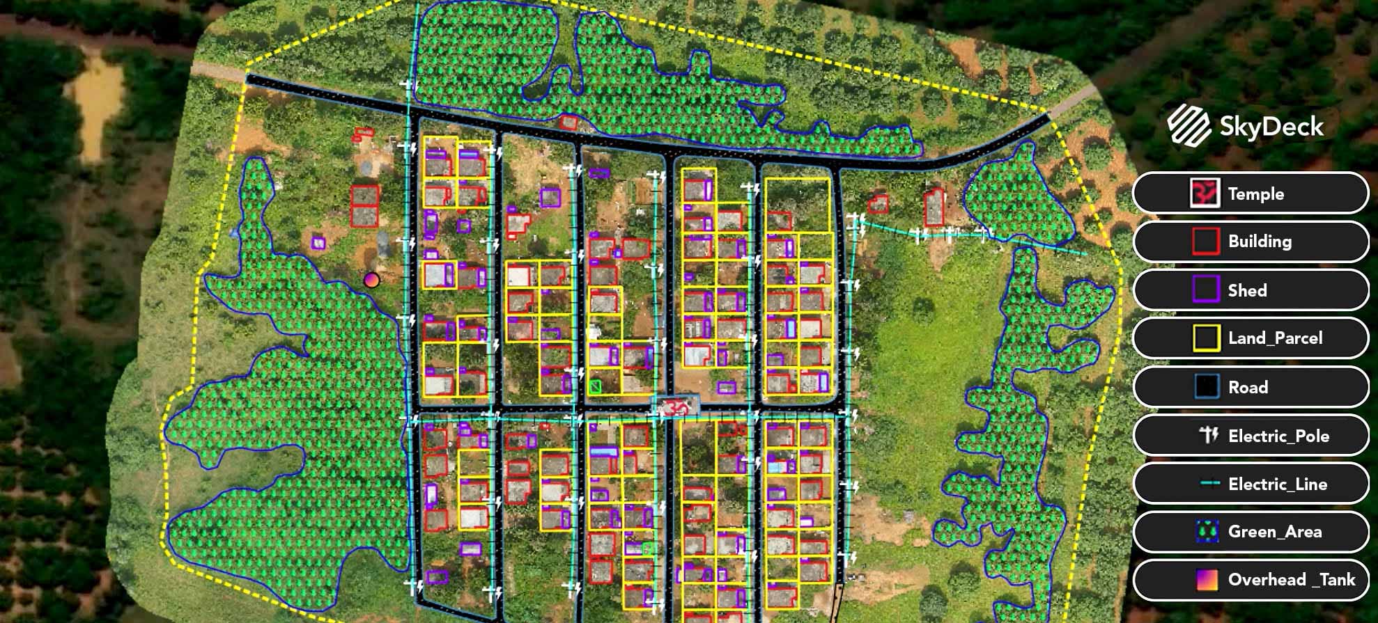
In-depth GIS mapping, remote sensing, and spatial data analysis for informed decision-making and sustainable land development.
- GIS Mapping
- Remote Sensing
- Spatial Planning
- DTM / 3D Visualization
Environmental & Agricultural Solutions
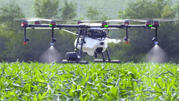
Supporting sustainable infrastructure, environmental protection, and precision agriculture through advanced surveying and drone-based monitoring.
- Flood Control Mapping
- Wetland Restoration
- Drainage Delineation
- Crop Health Monitoring
- EIA Support
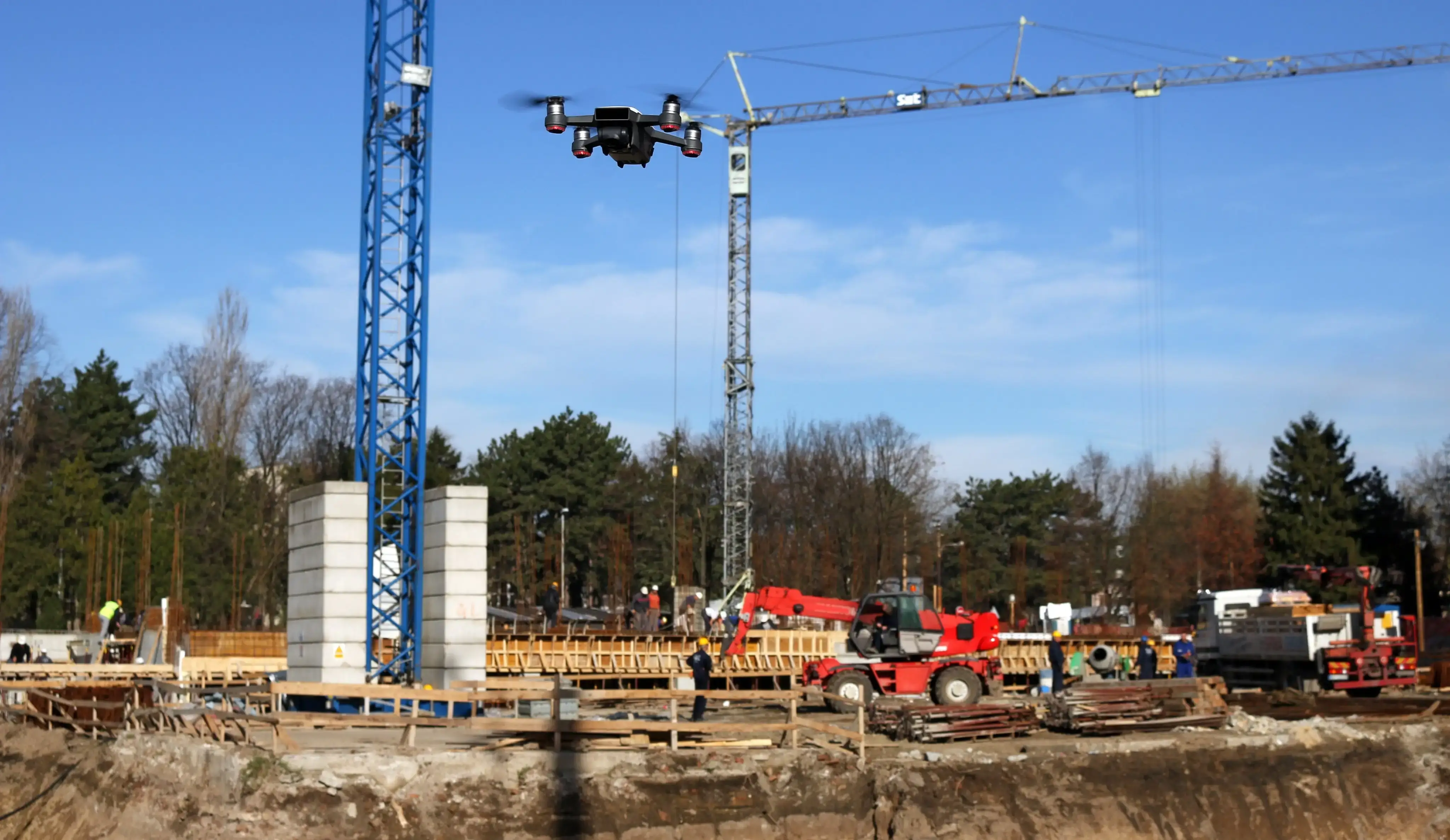
Site Supervision & Monitoring
Comprehensive site oversight enhanced with drone technology — real-time progress tracking, quality control, and safety inspections.
- 24/7 Remote Monitoring
- Aerial Imagery
- Progress Reports
- Asset Tracking
- Safety Inspection